
Mason Valley, Nevada ~ Jay Flakus, Director of City of Yerington’s Public Works Department and member of the Yerington/Mason Valley Fire Protection District has been providing comprehensive and ongoing drone videos of the 2023 Floodwaters of the Walker River through Mason Valley.
These videos, while of great interest to residents and former residents of Mason Valley, provide invaluable information to the agencies, businesses, volunteers and landowners who are working together to mitigate the ongoing flood damage.
The following photo “stills” are from the June 13, 2023 video that Jay Flakus compiled with his drone of the Weir, Aiazzi Lane and Miller Lane.
Looking Southwest: The Walker River Weir at the 90 degree angle in the river; Anaconda ore piles on the upper right; Town of Yerington in upper middle with the airstrip from upper left toward middle. Singatse Mountain Range on the right; Pine Grove in the distant mid-left, with the snow-capped Sweetwaters peeking out (camouflaged in the clouds) between the two mountain ranges:
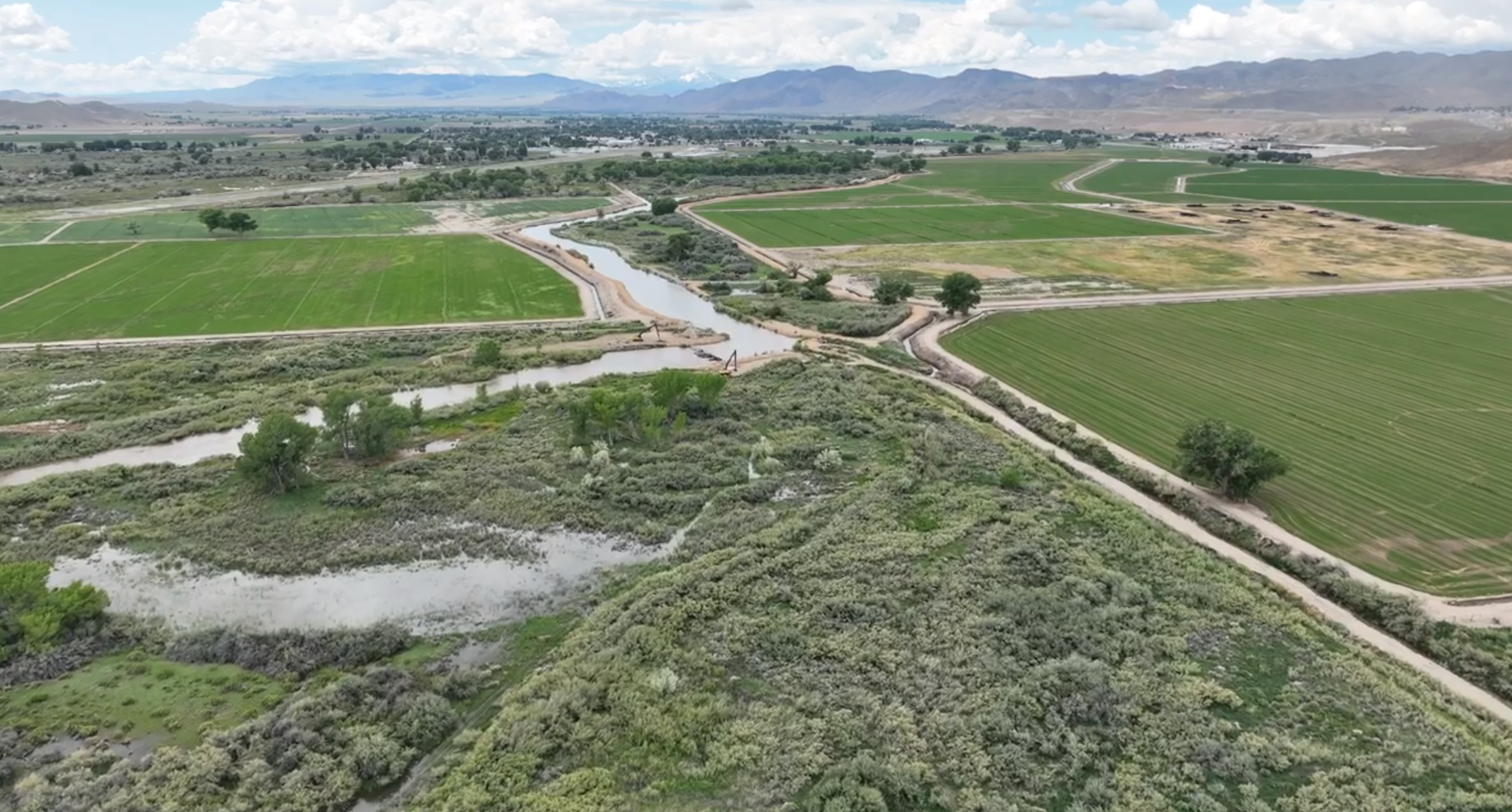
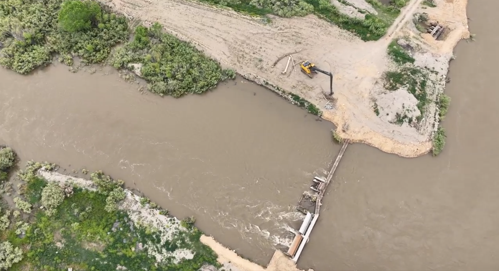
The Walker River Weir (a low dam built across the river to raise the level of water upstream or regulate its flow) is located downriver from Goldfield Avenue, but before the Miller Lane Bridge:
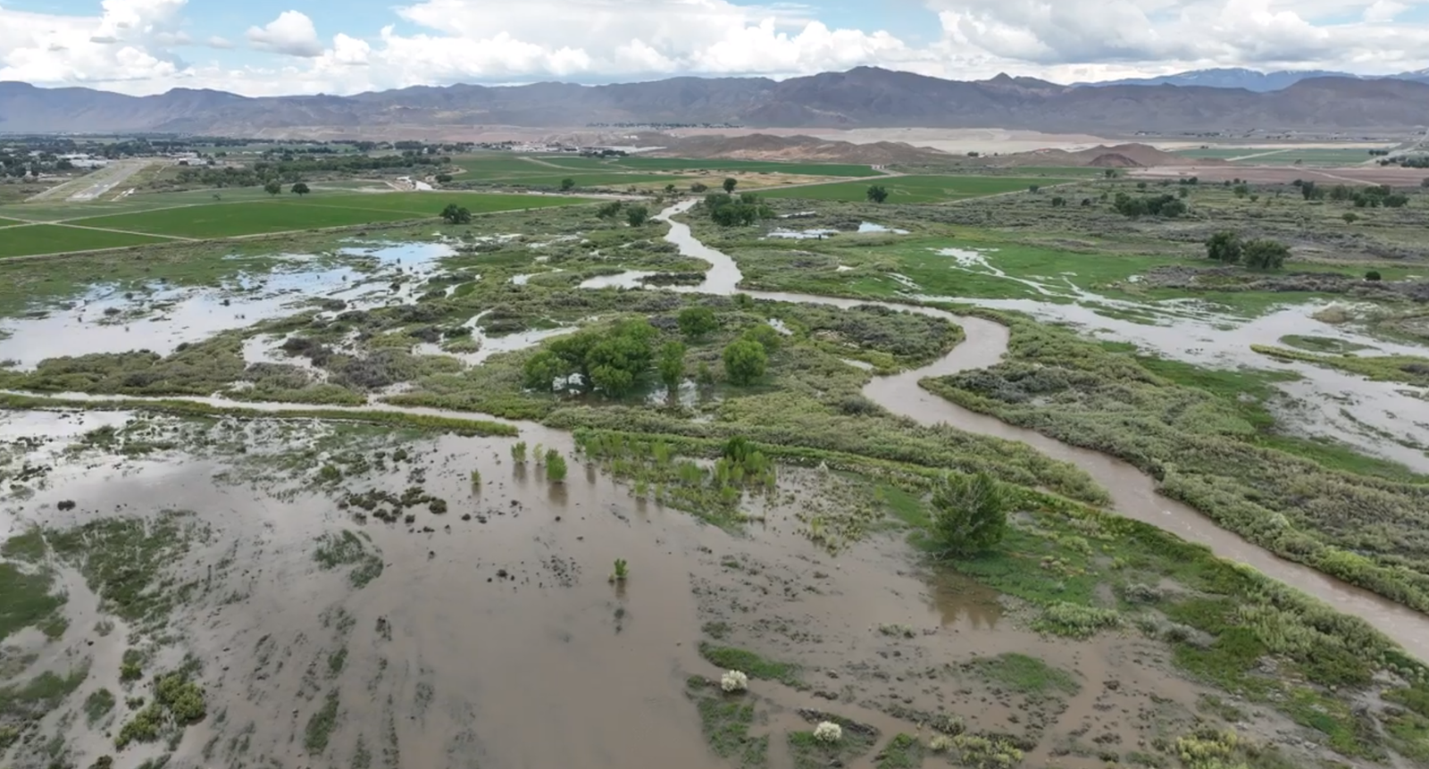
Walker River flooding looking West-southwest in Mason Valley, Nevada. Yerington airstrip on the upper left:
Walker River flooding looking Northeast in Mason Valley, Nevada:

Walker River flooding looking Southeast in Mason Valley, Nevada toward Wassuk Mountain Range: Black Mountain, Bald Mountain, and snow-capped Mount Grant in the distance from left to right:
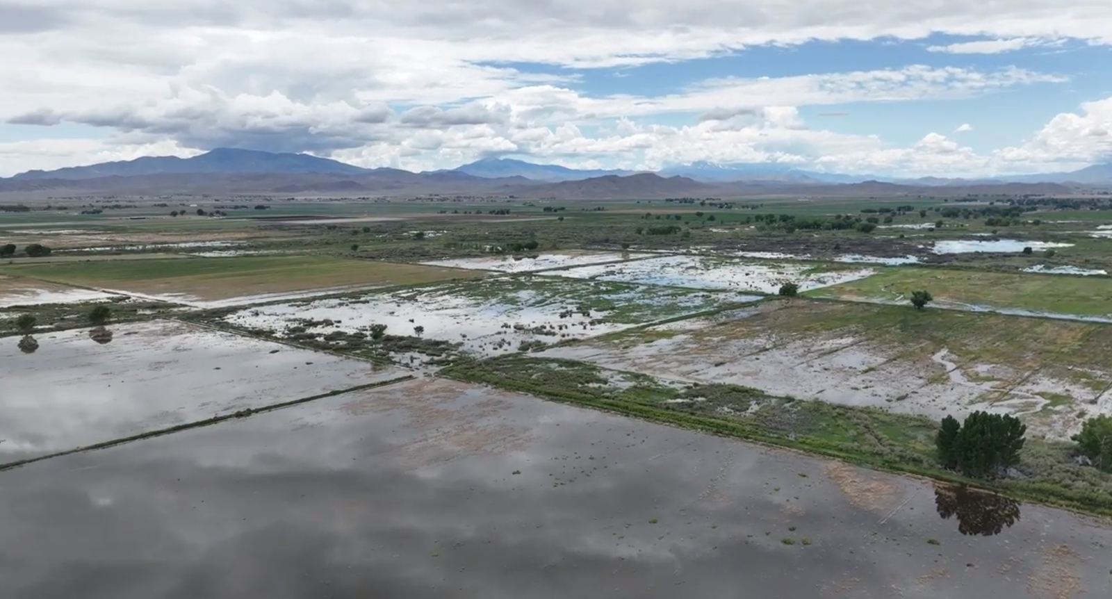
Mason Valley looking Southwest through flooded fields from the Miller Lane area toward McCloud Hill & Anaconda ore piles on the upper right; Town of Yerington in upper middle; Singatse Mountain Range on the right; Pine Grove in the distant middle, with the Sweetwater Mountains between the two mountain ranges; Mount Grant in distant left:

Looking West toward Singatse Mountain Range with snow-capped Pine Nut Range in the distance: Miller Lane in Mason Valley, Nevada: Area South of Miller on the left, North on the right:

Miller Lane in Mason Valley, Nevada: South side of Miller on the left, North on the right:

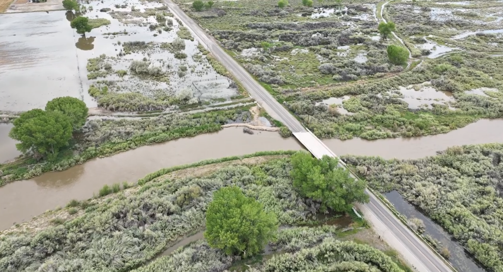
Miller Lane Bridge: upriver (South side of Miller) on left flowing toward the right (downriver):
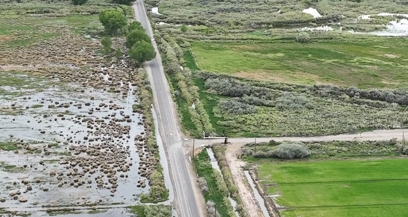
Looking West, Miller Lane in Mason Valley, Nevada with turnoff to Mason Valley Wildlife Management Area to the right: South side of Miller on the left, North on the right:
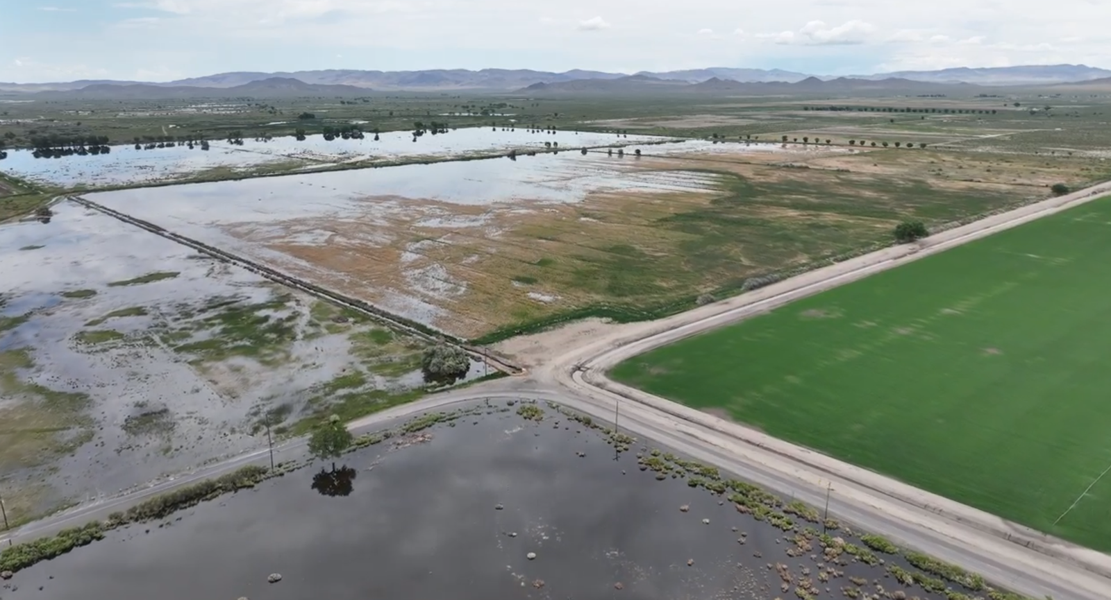
Walker River floodwaters at the corner of Miller Lane (left) and Aiazzi Lane (right) in Mason Valley, Nevada looking Northeast:
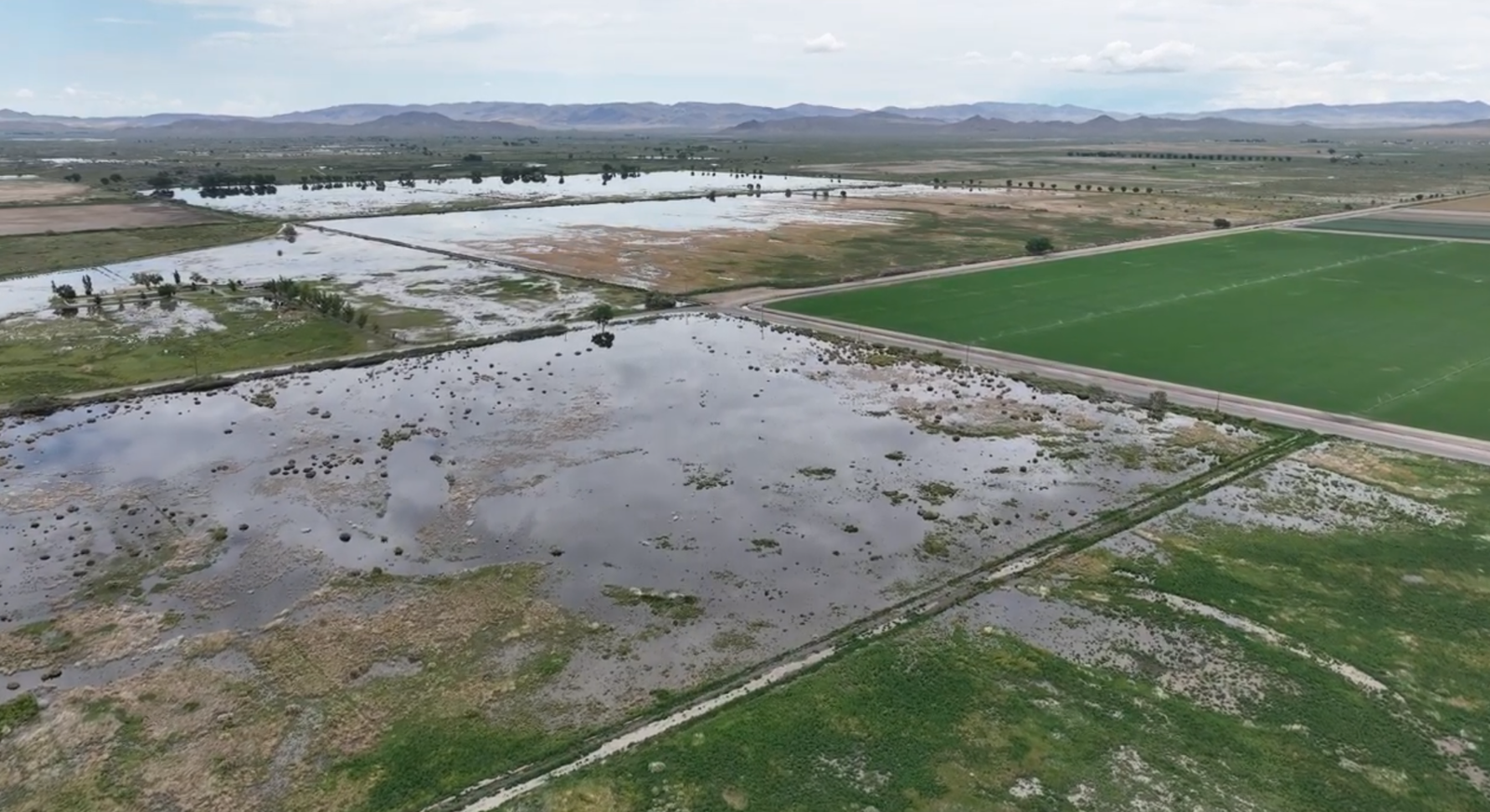
Walker River floodwaters at the corner of Miller Lane (left) and Aiazzi Lane (right) in Mason Valley, Nevada looking Northeast:


More Stories
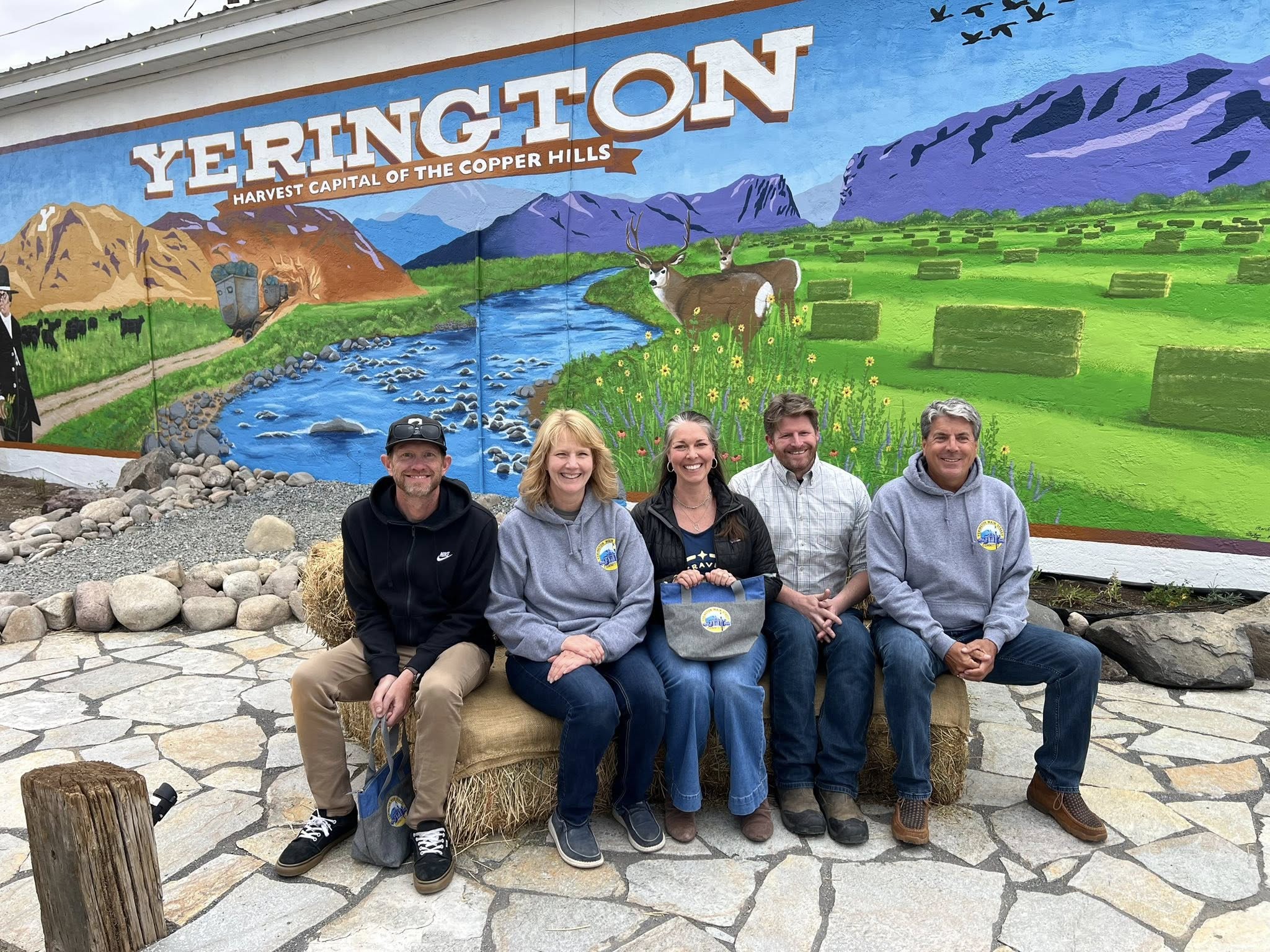
Yerington Comes Together to Celebrate Vibrant New Addition to Main Street
Yerington Community Update from Interim Manager Jerry Bryant on May 1, 2026
Lyon Co. NV Board of County Commissioners Meeting Agenda, Zoom Link & Documents: May 7, 2026