Lyon County, Nevada on 10.05.2023
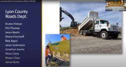
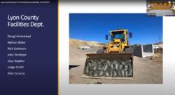
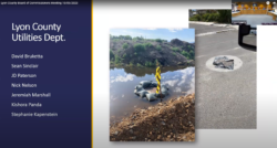
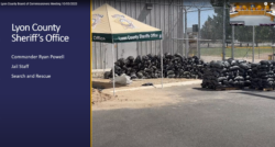
This morning, the Lyon County Board of County Commissioners recognized the following agencies for their exemplary service and dedication to prevent major flooding on the Walker River during the 2023 floods:
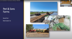
- Peri & Sons Farms
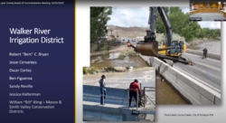
- Walker River Irrigation District
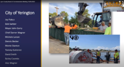
- City of Yerington
- City of Yerington Public Works
- Lyon County Roads Department
- Lyon County Facilities Department
- Lyon County Utilities
- Lyon County Sheriff’s Office – Nevada
- Lyon County Human Services
- Lyon County Office of Emergency Management
- Lyon County Community Development
- Nevada Division of Emergency Management
- Homeland Security

The team work of these agencies and private businesses joined by un-named volunteers, residents, and even non-residents exemplifies the very definition of COMMUNITY. Because of these people who go above and beyond the call of duty, we remain Lyon County Strong.
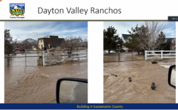
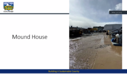
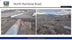
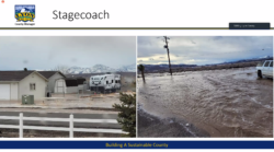
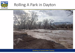
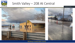
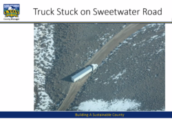
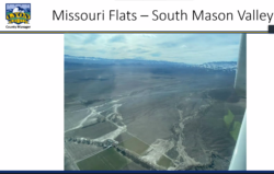
The following photos are from Lyon County Emergency Manager Taylor Allison.
THANK YOU ALL.
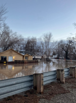
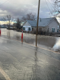
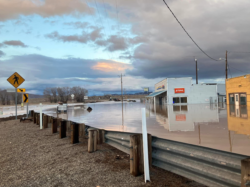
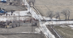
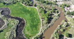
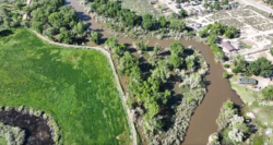
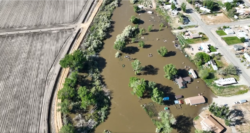
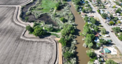
The danger has passed for now, and our memories of that danger tend to begin to fade. Here are some pictures to remind you.
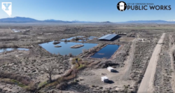
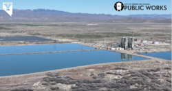
The following photos were taken from January through June of 2023 by a myriad of photographers.
Click on a photo to enlarge and view gallery at your own pace.
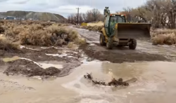
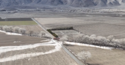
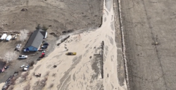
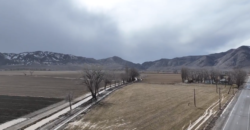
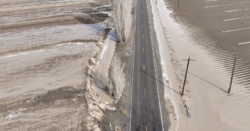
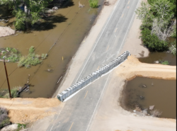
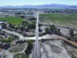
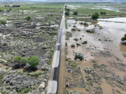
Berm work for flooding mitigation on Jordan Road at Mason Road & Hwy 339 in Yerington Monday, January 09, 2023. Photo from Yerington Public Works video.

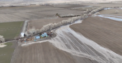
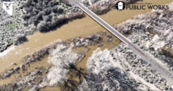
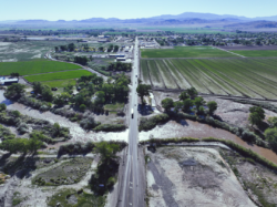
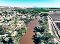
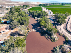
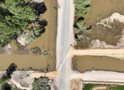
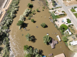
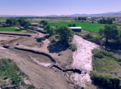
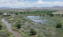
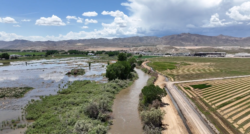
Walker River floodwaters at the corner of Miller Lane (left) and Aiazzi Lane (right) in Mason Valley, Nevada looking Northeast. Still photo from City of Yerington Public Works Department drone video on June 13, 2023.

Walker River floodwaters at the corner of Miller Lane (left) and Aiazzi Lane (right) in Mason Valley, Nevada looking Northeast. Still photo from City of Yerington Public Works Department drone video on June 13, 2023.

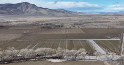
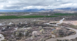
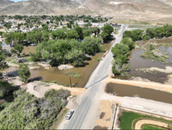
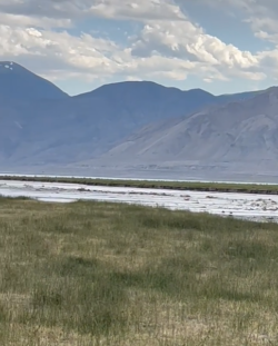
Walker River flooding looking Southeast in Mason Valley, Nevada toward Wassuk Mountain Range: Black Mountain, Bald Mountain, and snow-capped Mount Grant in the distance from left to right. Still photo from City of Yerington Public Works Department drone video on June 13, 2023.
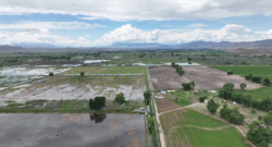
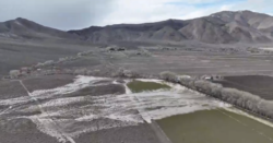
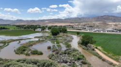
Mason Valley looking Southwest through flooded fields from the Miller Lane area toward McCloud Hill & Anaconda ore piles on the upper right; Town of Yerington in upper middle; Singatse Mountain Range on the right; Pine Grove in the distant middle, with the white Sweetwaters peeking out between the two mountain ranges; Mount Grant in distant left. Still photo from City of Yerington Public Works Department drone video on June 13, 2023.

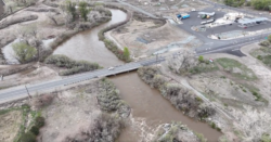
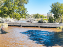
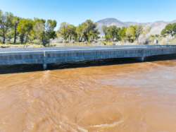
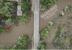
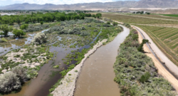
Miller Lane Bridge: upriver on left flowing toward the right. Still photo from City of Yerington Public Works Department drone video on June 13, 2023.
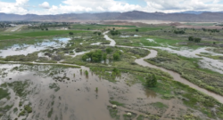
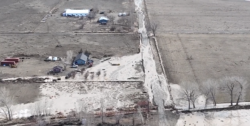
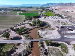
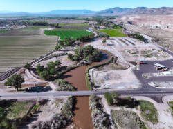
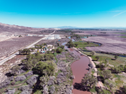
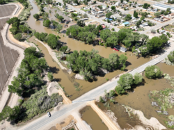
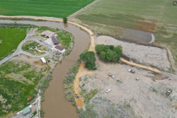
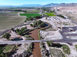
Walker River flooding looking West-southwest in Mason Valley, Nevada. Yerington airstrip on the upper left. Still photo from City of Yerington Public Works Department drone video on June 13, 2023.

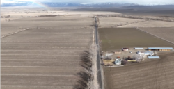
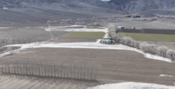
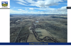
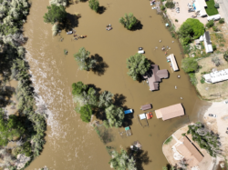
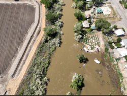
Walker River flooding looking Northeast in Mason Valley, Nevada. Still photo from City of Yerington Public Works Department drone video on June 13, 2023.

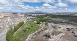
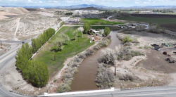
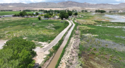
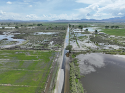
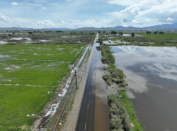
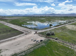
Looking West toward Singatse Mountain Range with snow-capped Pine Nut Range in the distance: Miller Lane in Mason Valley, Nevada: South side of Miller on the left, North on the right. Still photo from City of Yerington Public Works Department drone video on June 13, 2023.

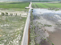
Miller Lane in Mason Valley, Nevada: South side of Miller on the left, North on the right. Still photo from City of Yerington Public Works Department drone video on June 13, 2023.

Looking West, Miller Lane in Mason Valley, Nevada with turnoff to Mason Valley Wildlife Management Area to the right: South side of Miller on the left, North on the right. Still photo from City of Yerington Public Works Department drone video on June 13, 2023.
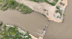
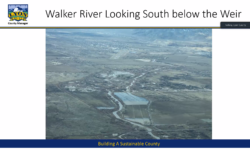
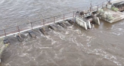
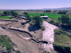
The Walker River Weir (a low dam built across the river to raise the level of water upstream or regulate its flow).
The Weir is located downriver from Goldfield Avenue, but before the Miller Lane Bridge. Still photo from City of Yerington Public Works Department drone video on June 13, 2023.
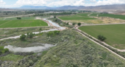
Looking Southwest: The Walker River Weir (a low dam built across the river to raise the level of water upstream or regulate its flow): at the 90 degree angle in the river. Anaconda ore piles on the upper right; Town of Yerington in upper middle with the airstrip from upper left toward middle. Singatse Mountain Range on the right; Pine Grove in the distant mid-left, with the white Sweetwaters peeking out between the two mountain ranges. Still photo from City of Yerington Public Works Department drone video on June 13, 2023.















More Stories
Highways to History: 1949 Life in Mason & Smith Valleys NV
Tri-DENT Detectives’ Swift Response Saves One-Year-Old’s Life in Winnemucca
City of Yerington COMMUNITY UPDATE on December 29, 2025